

- Home
- Web Auction 116
- Maps - EUROPE
Maps - EUROPE - Web Auction 116
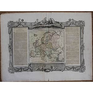
Лот 389
Map of Europe, published in Nuremberg in 1766 by Homann's heirs.
Two joined sheets, printed on heavy laid paper, ...
Лот 390
Interesting map representing the Canal du Midi, a French artificial canal about 250 kilometers long that connects the ...
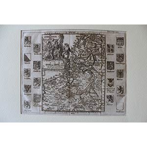
Лот 391
Map of 17 provinces of the Netherlands with their coats of arms depicted on the right and left.
Printed on laid ...
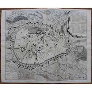
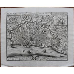
Лот 392
Map of the city of Brussels, with the legend in Dutch and French.
Two sheets joined. Printed on laid paper without ...
Лот 393
Two joined sheets. Printed on laid paper without watermark. Usual central fold. Very good condition except for two ...
Лот 394
With the publisher's address: Printed for Thos. Bowles next the Chapter House in St. Pauls Church Yard & I. Bowles at ...
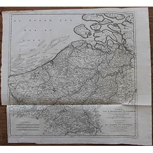
Лот 395
Map of Flanders, published by the Académie Royale des Sciences in Paris.
Two joined sheets. Printed on laid paper ...
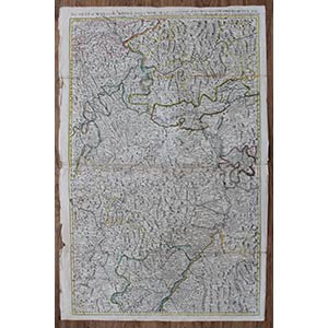
Лот 396
Printed on two joined sheets of laid paper. Usual central fold. Very thin margins beyond the platemark. Slightly ...
Лот 397
Printed on laid paper, with a fragment of watermark in the upper part. Traces of two vertical folds. Applied on a ...
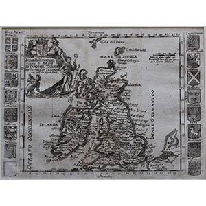
Лот 398
Map of Great Britain with the coats of arms of its regions.
Printed on laid paper, with a watermark fragment in the ...
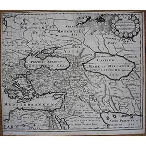
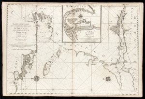
Лот 399
Original map of Europe, printed inside the ornamental frame (signed: j. Aveline. Scolp.). The editorial description ...
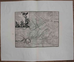
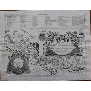
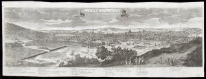
Лот 400
...quand l'armée des deux couronnes, sous Mons.r de Villeroy et Boufflers s'aproche pour l'attaques le 14 de may 1703 ...
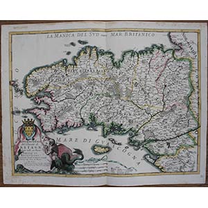
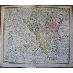
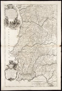
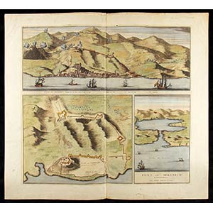
Лот 401
Antonio Barbey (fl. 1689-1703)
Governo Gnale del Ducato di Bretagna…, 1692
Лот 402
Two topographical maps of western and eastern Paris, joined together.
Printed on laid paper. Usual vertical central ...
Лот 403
Published in Rome by Domenico Rossi.
Printed on two sheets of laid paper with two watermarks, joined together. ...
Лот 404
From the edition of the Atlas Novus published in Amsterdam around 1640.
Printed on laid paper, with text on the ...
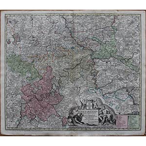
Лот 405
Nice map depicting the historic diocese of Trier.
Printed on two sheets of laid paper with watermark, joined ...
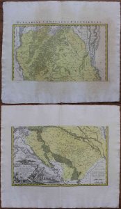
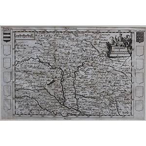
Лот 406
Map depicting the Pozsony Committee, an ancient committee of the Kingdom of Hungary. Published in Nuremberg by Homman's ...
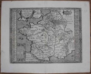
Лот 407
Map of ancient France taken from Ortelius' atlas "Parergon".Nice and fresh impression printed on two sheets of laid paper with watermark, ...
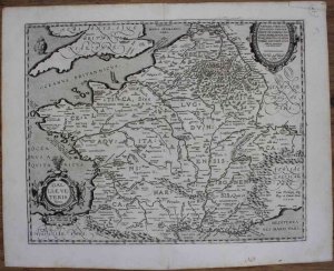
Лот 408
Map of ancient France taken from Ortelius' atlas "Parergon".Nice impression printed on two sheets of laid paper with watermark, joined ...
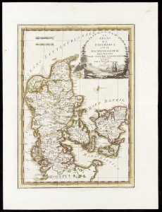
Лот 410
Il Regno di Danimarca con il Ducato di Sleswik delineato sulle ultime osservazioni
 Политика использования файлов cookie
Этот сайт использует файлы cookie для улучшения взаимодействия с пользователем и сбора информации об использовании сайта. Существуют также файлы cookie, которые можно использовать для выбора персонализированной рекламы и рекламного контента. Вы можете ознакомиться с нашей политикой использования файлов cookie, принять все файлы cookie и продолжить просмотра, нажав "Принять" или измените свой выбор, нажав "Настроить".